

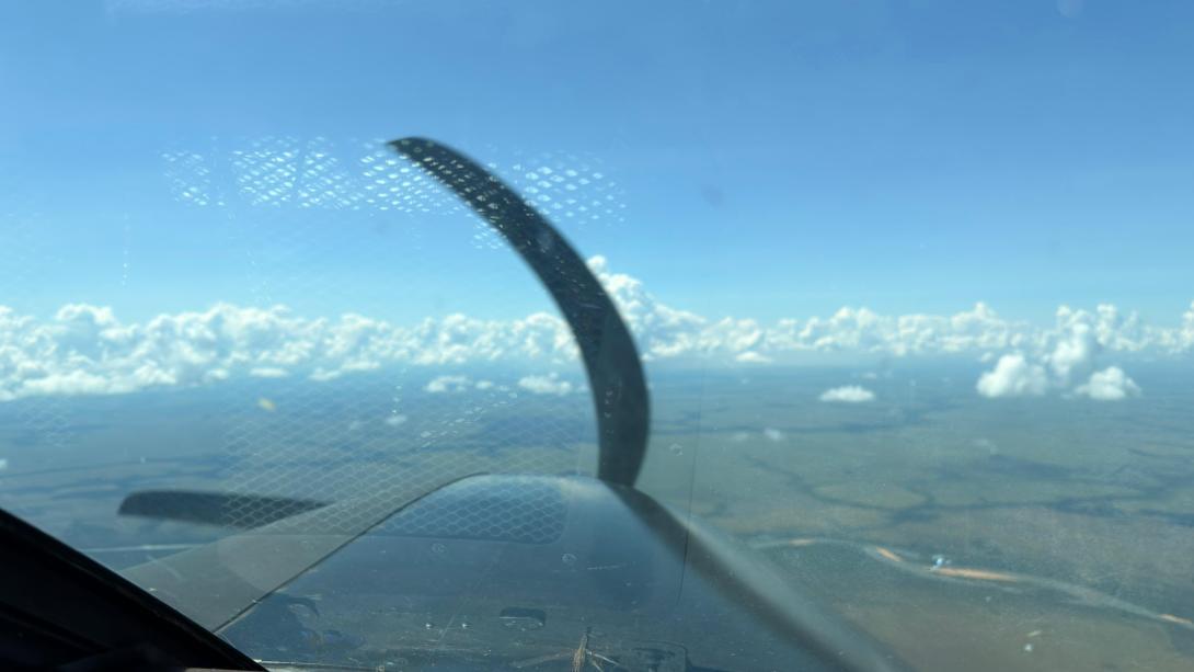
Risk Management, Surveillance and Reconnaissance Missions in Areas at Risk or Hit by Natural Disasters have been carried out by the Eastern Air Group, GAORI, in the El Tuparro National Natural Park, a protected area belonging to the System of National Natural Parks of Colombia, in the department of Vichada.
These missions have been carried out with the purpose of obtaining technical information and military operations that led to measure the magnitude of the loss generated by forest fires in this area of the country. The information collected has been intended to strengthen the analysis and decision-making processes of the authorities.
The data obtained during the overflights have been given to the Crisis Room of the National Unit for Disaster Risk Management, UNGRD, where they have been used for the assessment of environments and the planning of actions aimed at emergences.
The operations have been carried out with the air resources of the GAORI, under strict security protocols and inter-institutional coordination, with trained crews for the execution of observation, surveillance and reconnaissance missions in complex environments and high environmental sensitivity.
Source: GAORI Public Communications Office


